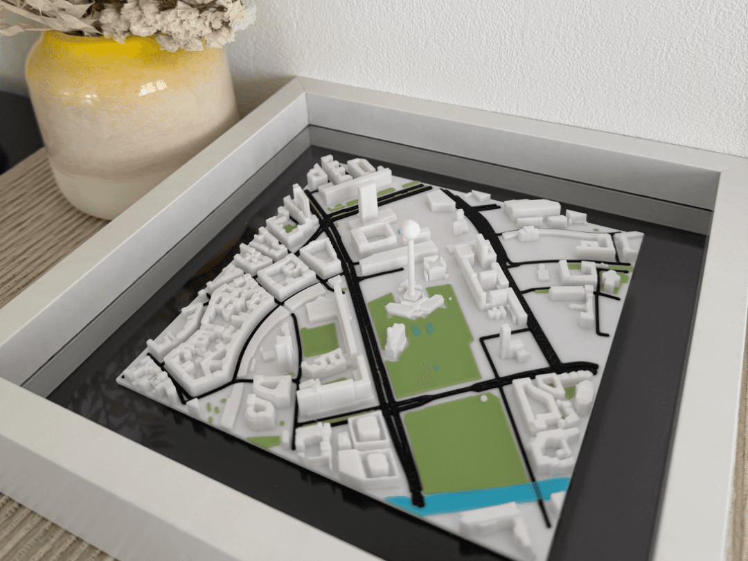
City-center print
A cropped downtown model with roads and building massing as the main visual structure.
Examples
Real directions for real projects. Use these examples to decide what kind of crop, shape and visual emphasis fits your own place best.
These visuals show the kinds of compositions the editor is optimized for: clean urban prints, water-led scenes, terrain-heavy regions and personal keepsake maps.
A cropped downtown model with roads and building massing as the main visual structure.

A river or canal scene where water becomes the strongest shape in the composition.
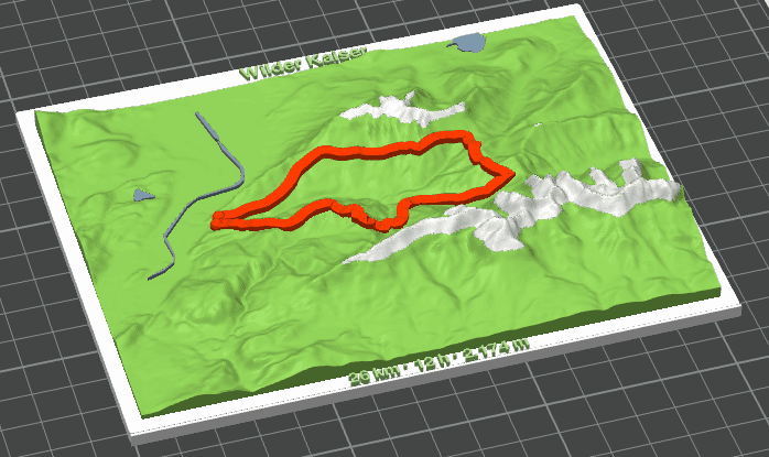
A terrain-first print for mountains, islands, valleys or hiking regions.
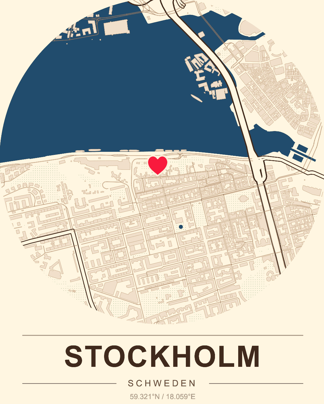
A place tied to a vacation, a move, a wedding or a proposal.
A cropped downtown model with roads and building massing as the main visual structure.
A river or canal scene where water becomes the strongest shape in the composition.
A terrain-first print for mountains, islands, valleys or hiking regions.
A place tied to a vacation, a move, a wedding or a proposal.
A simplified local map with a few meaningful custom markers instead of full detail everywhere.
A quick physical site model used to communicate scale and urban structure in early design phases.
If your map is mainly urban, the 3D city map page is the best next stop. If terrain and landform matter more, go to topographic map printing. When you are ready to build the actual piece, open the editor.